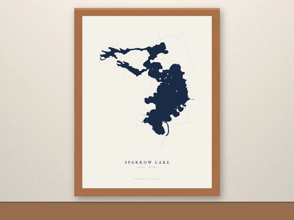
Framed Sparrow Lake Map
C$119 CAD
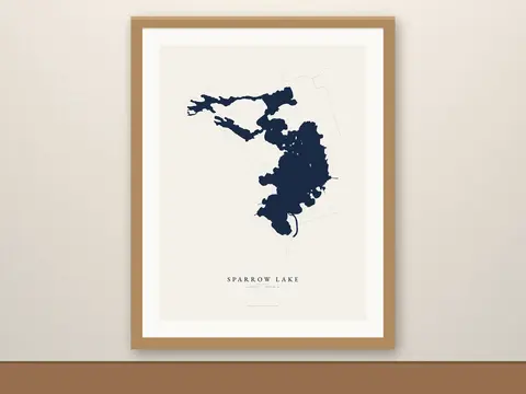
A framed Sparrow Lake map, ready to hang when it arrives. Drawn from real shoreline data, bays and islands in place, on the Trent-Severn Waterway near Washago, with Port Stanton on the shore.
- Free shipping in Canada, with tracking. Canada only for now.
- Made to order just for you.
- Christmas: Framed maps take a little longer to make. For Christmas delivery in Canada, order by Friday, December 4 at the latest; earlier is safer.
About this map
A framed Sparrow Lake map, ready to hang when it arrives. Drawn from real shoreline data, bays and islands in place, on the Trent-Severn Waterway near Washago, with Port Stanton on the shore.
The same art as our unframed prints, in a wood frame with an acrylic front and the hanging hardware already attached. No mat and no trip to the frame shop.
Details
- 12 x 16 in print, about 13.5 x 17.5 in framed. The map runs to the frame edge, with the art's own paper margin around the lake.
- Frame: Black or Red Oak finish (ayous wood, 0.75 in thick).
- Enhanced matte paper, 189 gsm (10.3 mil), fade-resistant inks
- Shatterproof acrylic front (lighter and safer to ship than glass)
- Hanging hardware included
- Lake name set in EB Garamond, with the lake’s coordinates (44°49′11″ N · 79°23′49″ W)
Care
Keep it out of direct sun and damp.
Shipping
- Free shipping in Canada, with tracking.
- Made to order: allow 3–5 business days for production, then usually 3–8 business days in transit.
- Framed maps take a little longer to make. For Christmas delivery in Canada, order by Friday, December 4 at the latest; earlier is safer.
- We ship within Canada only for now.
About the photos
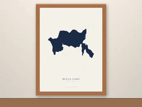
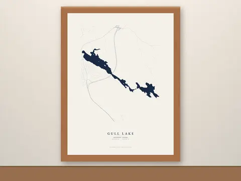
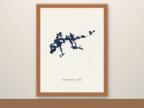
All photos are digital mockups made directly from the print files, with no AI-generated imagery. The map artwork is not AI either; we draw it from OpenStreetMap shoreline data.
Map data © OpenStreetMap contributors, available under the Open Database License (openstreetmap.org/copyright).